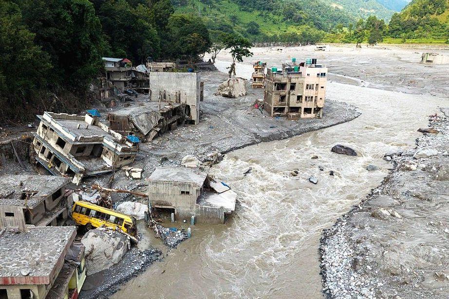
During the early hours of Wednesday, a glacier perched on Nepal’s southwest slopes collapsed, sending a torrent of ice, rock and water down the Trishuli River. The flood surged through villages, bridges and a hydro‑electric power station, leaving a path of devastation that satellite images now make visible.
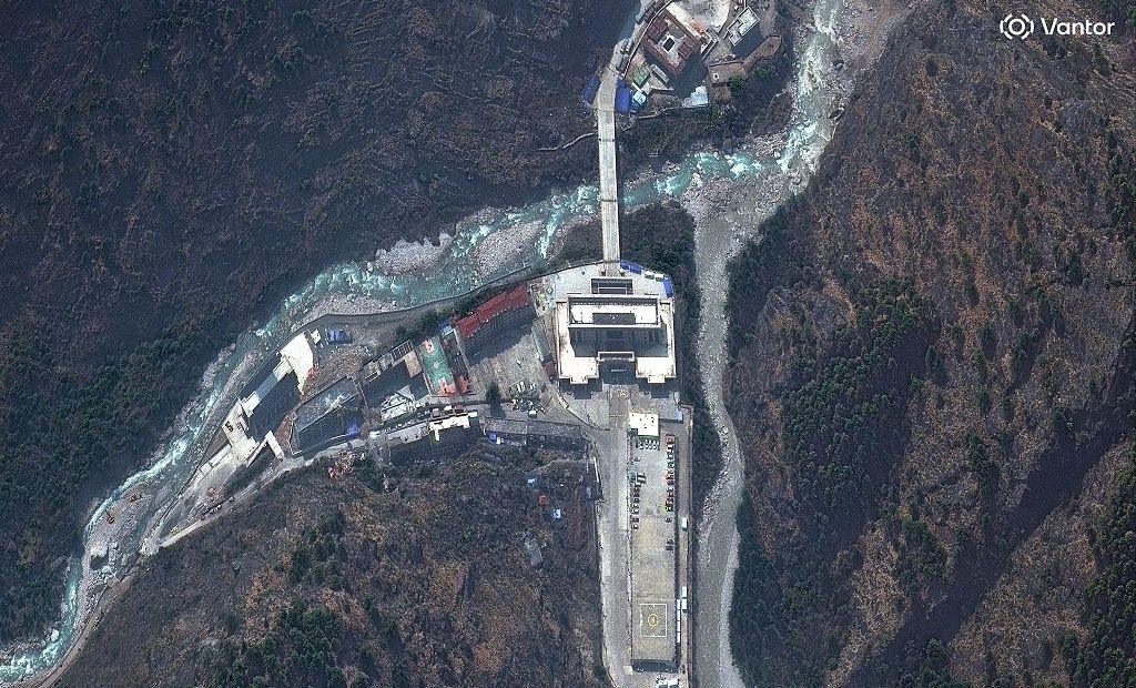
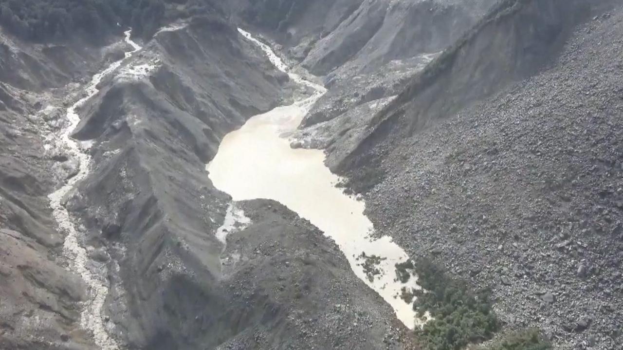
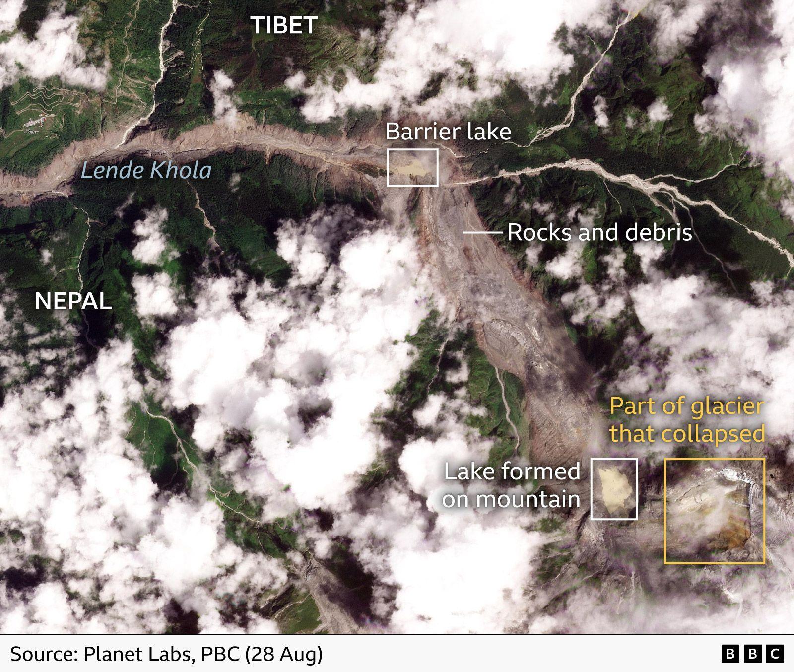
Satellite photographs from the United States‑based intelligence firm Vantor show that the flood’s reach extended more than 2.5 kilometres upstream, elevating the river’s surface to 100 metres above its former level. Downstream, a barrier lake has formed at the landslide’s path, and Chinese authorities alarmed the world that the lake could breach, causing a secondary flood.
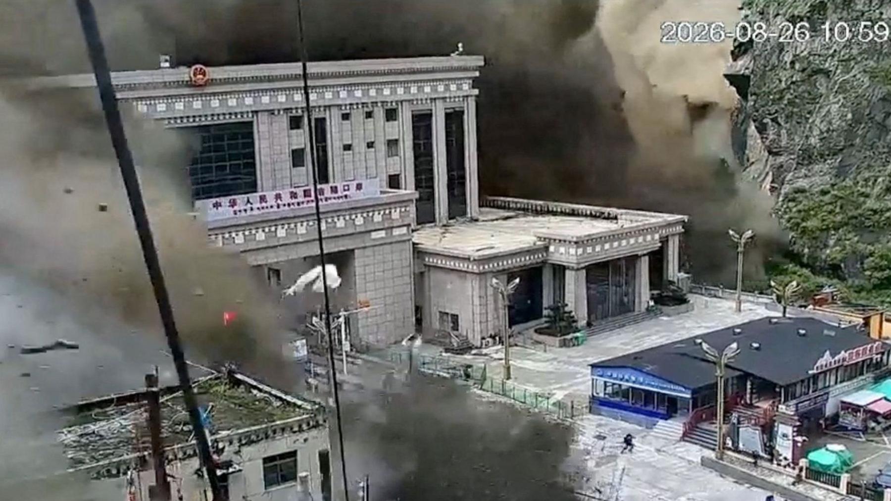
At the border crossing that connects Nepal with Tibet, floodwater swept across buildings and roads, prompting footage from CCTV that captures people in panic as water surged over a bridge. The crossing has been reported as almost completely washed away.
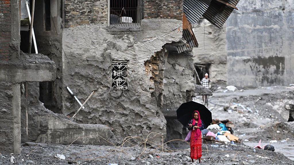
In the villages of Timure and Trishuli, houses perched on steep slopes were either lost or buried under debris. The satellite view of Trishuli, located about 45 kilometres from the border, shows a neighbourhood that has been effectively erased. A bridge in the area collapsed when the river surged forward, and a bus caught on camera shows passengers fleeing the torrent.
Scientists have examined the glacier’s collapse on satellite and drone footage, noting a massive block of ice detached and creating a clear channel of rock and debris. At the lower end of this channel, vegetation has been stripped from the banks, and the surrounding terrain is scarred to the peak of the valley.
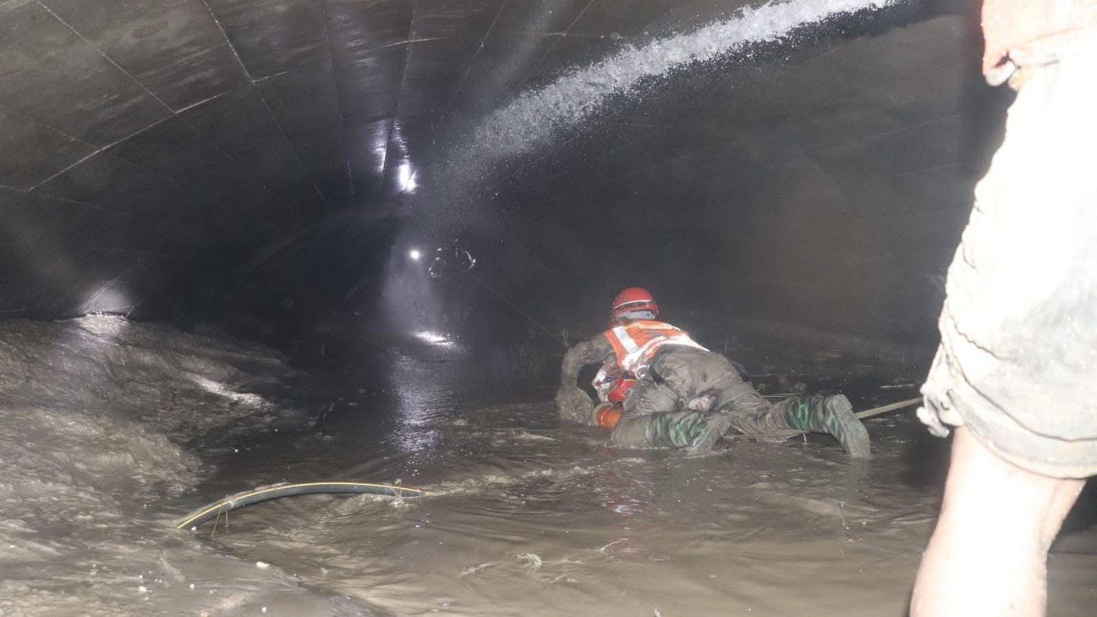
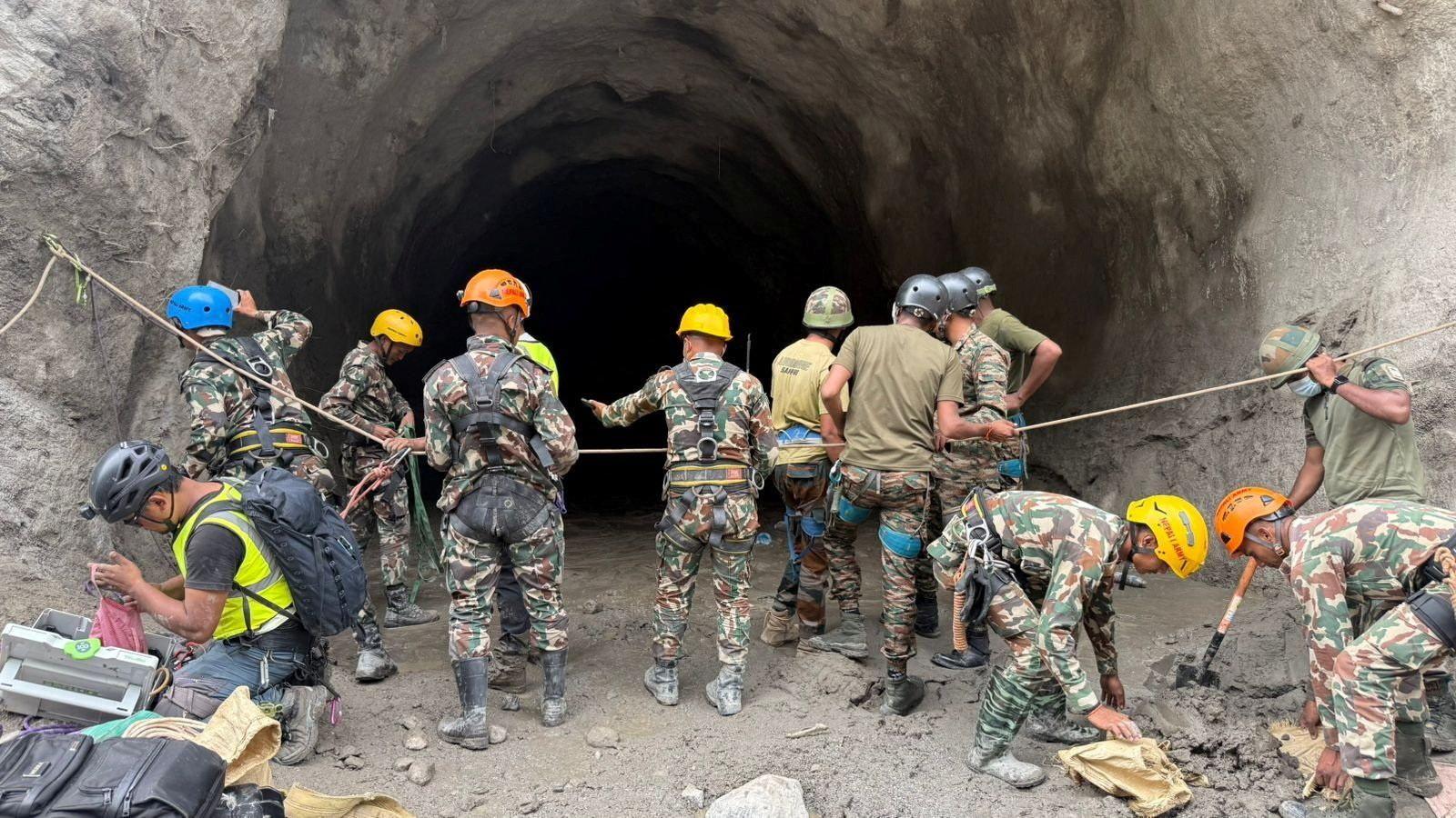
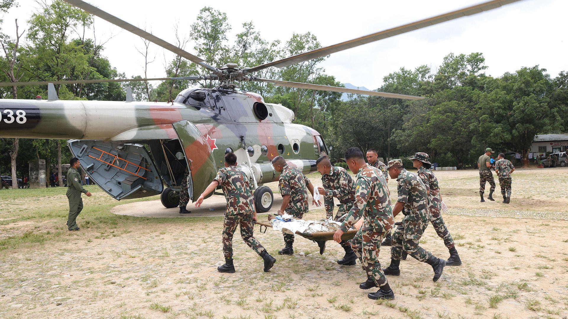
A glaciologist at the Indian Institute of Science Education and Research noted that the barrier lake’s surface area did not expand dramatically between Wednesday and Thursday, yet it still represents a risk, as some water is already seeping downstream through a visible drainage channel. Rescue teams are now focusing their activities on identifying missing persons and access points that have been rendered impassable.
Images and data from Vantor’s Open Data Program are being shared with local authorities to accelerate rescue efforts and to provide a clearer understanding of the disaster’s full depth. The flood’s impact on the Chinese side of the border remains uncertain, owing to limited media access to the region, which remains under tight state control.