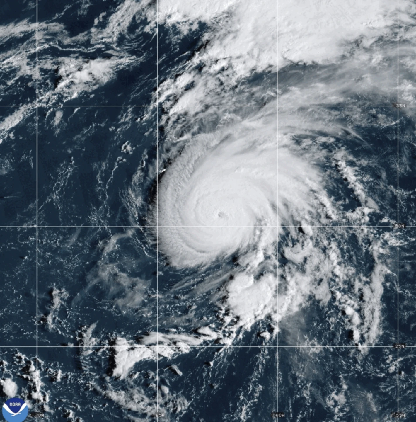
MIAMI (AP) — A fast-moving Hurricane Gabrielle was expected to bring heavy rain, high winds, and a storm surge to the Azores islands starting Thursday night and continuing into early Friday, forecasters said.
A hurricane warning is in effect for the entire volcanic archipelago, with the Miami-based National Hurricane Center indicating that dangerous conditions are imminent. They advised residents to ensure that storm preparations are completed as soon as possible.
On Thursday afternoon, the hurricane was about 455 miles (730 kilometers) west of the Azores, boasting maximum sustained winds of 75 mph (120 kph) and tracking east at 32 mph (52 kph).
Large ocean swells forecasted to create life-threatening surf conditions began reaching the Azores later on Thursday, with additional large waves impacting Bermuda, the northeastern U.S. coast, and Atlantic Canada.
Wind speeds are projected to be extreme as the storm passes through the islands but are expected to weaken over the weekend. Even post-storm, forecasters have warned of continuing hurricane-force gusts in certain areas.
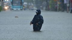
The National Hurricane Center forecasts dangerous storm surge alongside powerful waves to lead to significant coastal flooding where onshore winds prevail. Rainfall estimates indicate potential accumulations of up to 5 inches (13 centimeters) over central Azores, with 3 inches (8 centimeters) expected for the eastern and western regions, raising concerns for flash flooding in the mountainous interior.
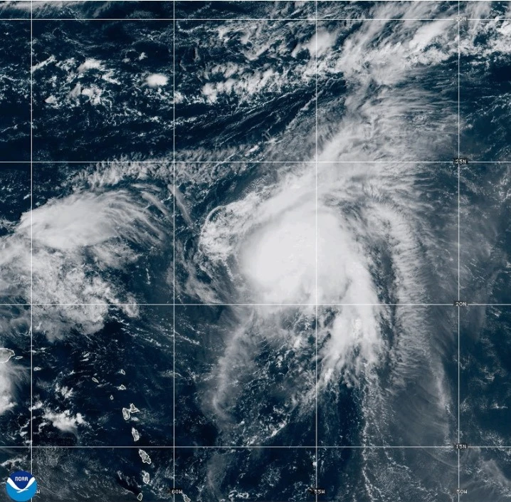
Tropical Storm Humberto, formed the prior day over the Caribbean, remains a significant weather event as well. Located 465 miles (750 kilometers) east-northeast of the northern Leeward Islands, it exhibited winds of 50 mph (85 kph) on Thursday morning and is anticipated to strengthen.
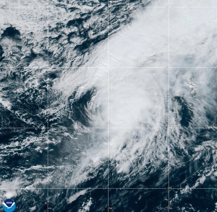
On the Pacific side, Hurricane Narda was moving away from Mexico, maintaining a maximum wind speed of 90 mph (150 kph), and is expected to restrengthen, potentially reaching Category 2 status.