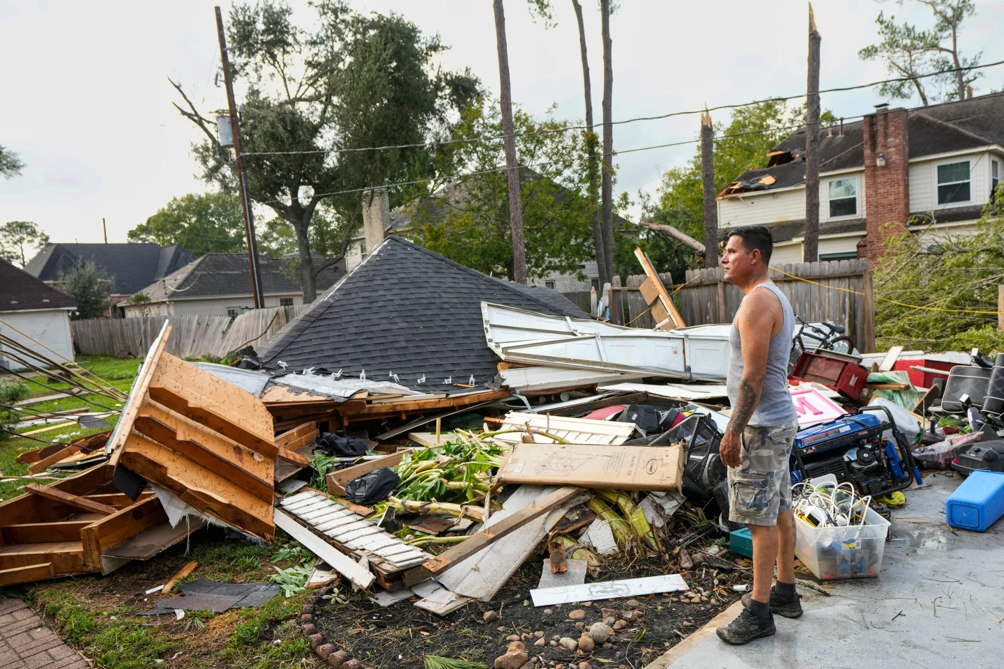
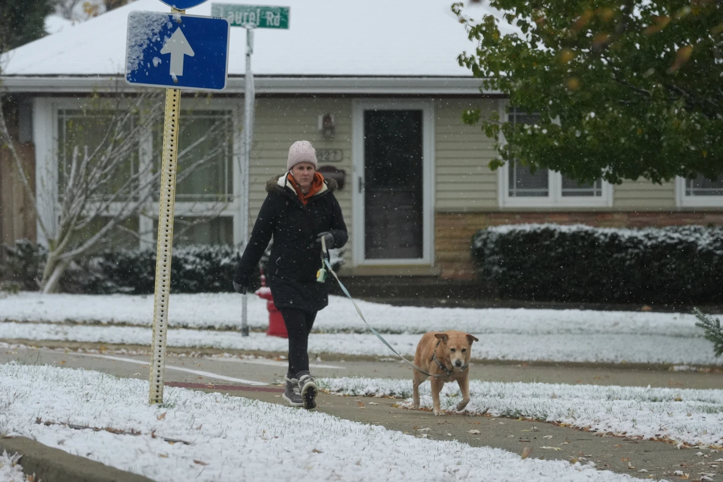
LANSING, Mich. (AP) — Residents of the Great Lakes region are bracing for a snowy Thanksgiving as a weather system continues to drop precipitation across the area, particularly in the Upper Peninsula of Michigan. Snowfall that began Wednesday persisted into Thursday, driven by strong winds out of the north and northwest. A blizzard warning is currently in effect for Alger County, east of Marquette, Michigan, until 7 p.m. Thursday night.
The National Weather Service indicates that the heaviest snowfall will occur west of Munising, with additional accumulations of up to 13 inches (33 centimeters) possible. Meteorologist Lily Chapman reported that her office measured 15 inches (38 centimeters) of snow by Thursday morning, and nearby areas have reported totals exceeding 28 inches (71 centimeters) depending on local conditions and elevation.
Lake effect snow occurs when cold air from Canada moves over the warmer waters of the Great Lakes, creating narrow bands of clouds that produce heavy snowfall. Areas affected by this phenomenon can see dramatically different weather patterns, often leading to 2 to 3 inches (5 to 8 centimeters) of snowfall per hour.
As residents prepare for travels during the Thanksgiving holiday, the lake effect snow poses significant challenges. According to Chapman, the traveling snow bands can cause sudden whiteouts, leading to hazardous conditions on roads. Visibility has been reported as low across the Upper Peninsula, complicating travel. Additionally, strong winds, gusting up to 45 mph (72 kph), have resulted in large snowdrifts and power outages, with over 1,000 reported outages near Houghton, Michigan, and similar reports from Consumers Energy near Lake Michigan.
Conditions are expected to improve as the snowfall eases from west to east by Friday, but another weather system is forecast to bring additional snowfall over the weekend. On Thanksgiving morning, Buffalo, New York reported 2 to 3 inches (5 to 8 centimeters) of snow and remained under a lake effect snow warning until early Saturday.