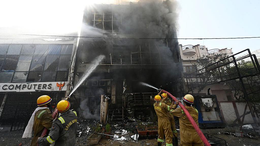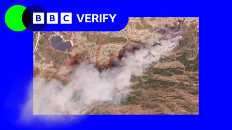
Satellite images have revealed the scale of two wildfires spreading in southern California. The Sandy Fire ignited on Monday morning in the city of Simi Valley, north-west of Los Angeles, according to California Governor Gavin Newsom. Satellite images taken just after noon local time (20:00 BST) on Monday show a large plume of smoke rising into the air just south of the city.
California fire officials reported on Tuesday that 750 firefighters were being supported by night-flying water dropping helicopters to target hotspots. The fire had already spread across 1,364 acres (550 hectares), and officials confirmed no part of it has been contained.
The Simi Valley Police Department noted that a report indicated an individual hit a rock with a tractor, which sparked the fire, according to CBS News. Data from NASA's wildfire monitoring platform shows active hotspots moving further south overnight into Tuesday.
More than 10,000 homes have been evacuated from Simi Valley and surrounding communities. Additionally, there are evacuation warnings for a further 3,500 homes extending into neighboring Los Angeles County. Los Angeles mayor Karen Bass mentioned that while officials do not expect the blaze to spread to the city, warnings have been issued out of an abundance of caution.
The spread of the fire was exacerbated by high winds on Monday morning, though the winds eased later in the day. The Simi Valley Unified School District announced the cancellation of all classes on its campuses for Tuesday.
Simultaneously, another fire on Santa Rosa Island has burned 14,600 acres (6,000 hectares) of the Channel Islands National Park. This fire, first reported on Friday, also remains uncontrolled, with at least 70 firefighters and park rangers engaged in combatting it. NASA's satellite-based wildfire monitoring indicates that the fire has moved northeast and is now spreading inland, prompting concerns for the unique ecosystem of the channel islands, which are home to various plant and animal species.