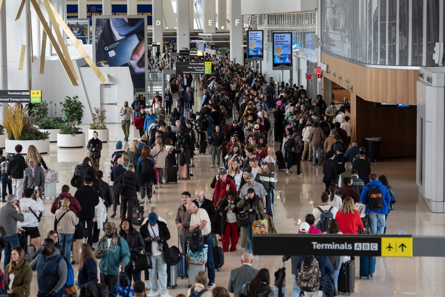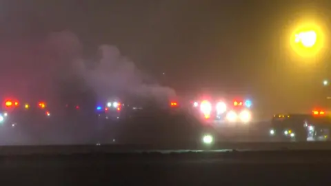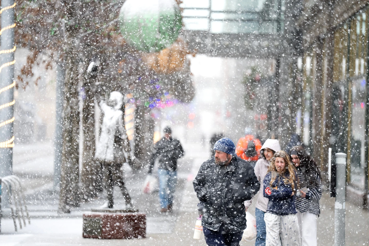
A potent winter storm threatens blizzard-like conditions, treacherous travel, and power outages in parts of the Upper Midwest as other areas of the country brace for plunging temperatures, strong winds, and a mix of snow, ice, and rain.
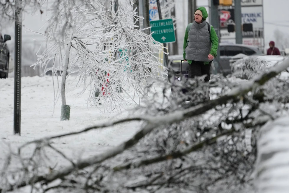
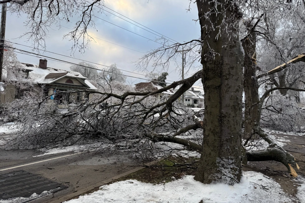
The storm began affecting the northern Plains on Sunday, with the National Weather Service warning of whiteout conditions that could make travel impossible in some areas. Snowfall totals are expected to exceed a foot (30 centimeters) in parts of the upper Great Lakes and potentially double that along the south shore of Lake Superior.
“Part of the storm system is getting heavy snow, while other parts are experiencing higher winds and much colder temperatures as the front passes,” said Bob Oravec, a lead forecaster at the National Weather Service office in College Park, Maryland. “They’re all related to each other — different parts of the country will be receiving different effects from this storm.”
During this event, the weather service warned of “dangerous wind chills” as low as minus 30 degrees Fahrenheit (minus 34.4 degrees Celsius) in North Dakota and parts of Minnesota. In the South, severe thunderstorms are likely, indicating the onset of a sharp cold front that abruptly ends a period of record warmth across the region.
Atlanta experienced an uncharacteristic high of around 72 F (22 C) on Sunday, following record temperatures over the Christmas period. Forecasters expect temperatures to plummet to 25 F (minus 3.9 C) by early Tuesday morning. In Dallas, temperatures could drop from the lower 80s (upper 20s C) to the mid-40s (single digits Celsius). “We’re definitely going back towards a more winter pattern,” Oravec noted.
As the storm intensifies in its easterly path, it draws energy from the clash between cold air from Canada and persistent warm air from the south. Residents across these affected regions should prepare for significant weather effects, especially regarding travel and safety.