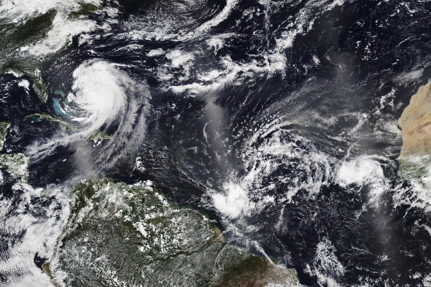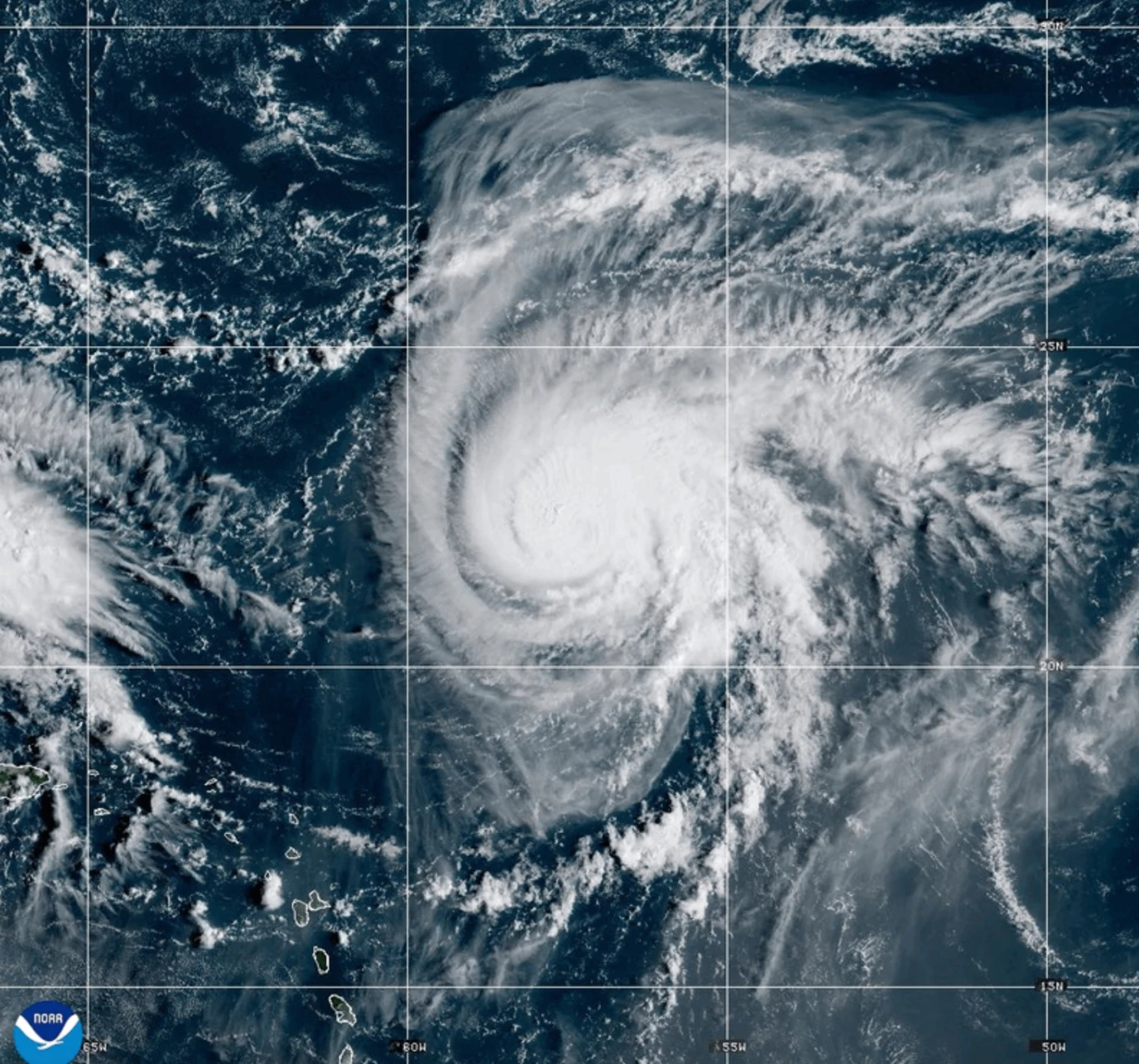
MIAMI (AP) — Dangerous tropical weather brewed Saturday in the Atlantic Ocean with Humberto intensifying into a powerful Category 4 hurricane and a weather system taking aim at the Southeast U.S.
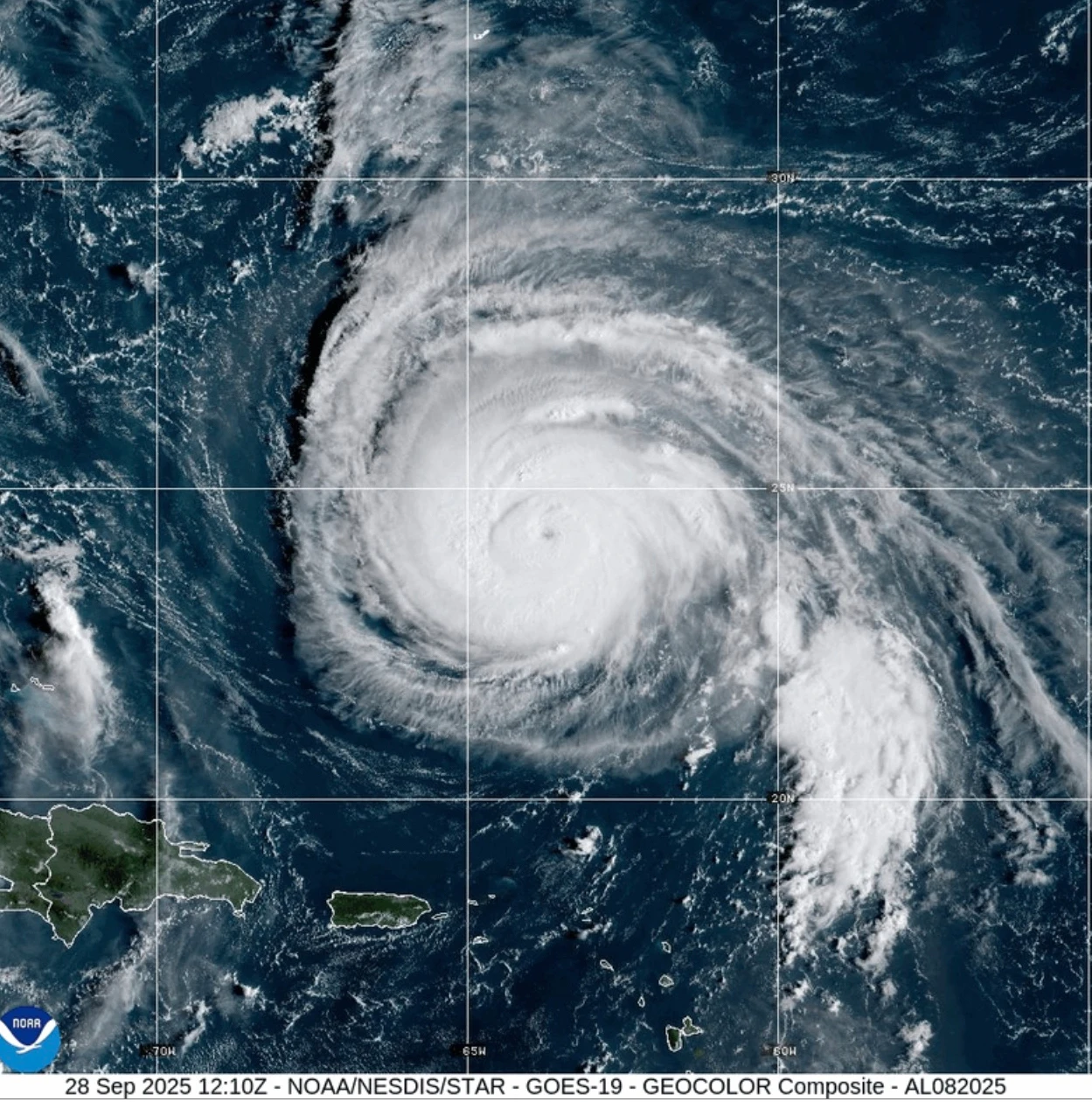
Hurricane Humberto had maximum sustained winds of 145 mph (230 kph) Saturday, according to the Miami-based National Hurricane Center’s latest advisory. The storm was located about 375 miles (605 kilometers) northeast of the northern Leeward Islands, moving west at 6 mph (9 kph).
Humberto could produce life-threatening surf and rip currents for the northern Leeward Islands, the Virgin Islands, Puerto Rico, and Bermuda over the weekend, forecasters said.
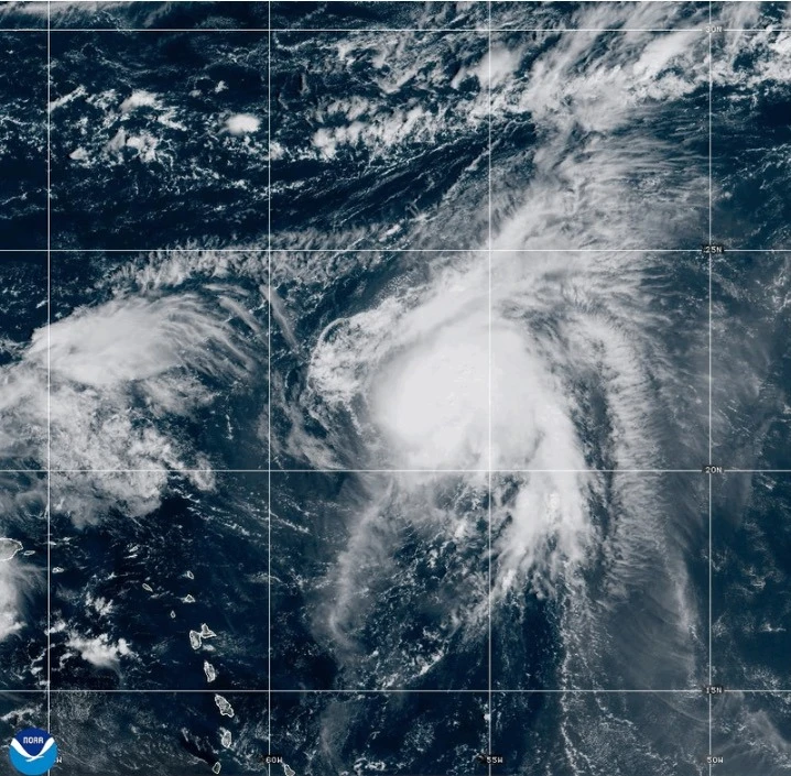
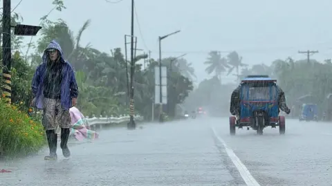
Meanwhile, a weather system likely to develop into a tropical storm over the weekend was threatening parts of the Bahamas and Cuba with heavy rainfall and flash flooding. Parts of the Bahamas were under a tropical storm warning on Saturday.
This system is forecasted to approach the Southeast U.S. early next week with gradual strengthening expected by Sunday, likely turning into a hurricane by late Monday.
South Carolina Gov. Henry McMaster declared a state of emergency over the storm Friday evening. The declaration allows state emergency officials to begin coordination with local and federal governments.
On Friday, crews in Charleston were preparing for the storm by checking high-water vehicles and preparing pumps to manage floodwater. Even though this has not formed yet, we are treating it as if we are expecting some kind of impact, said Chief Fire Marshal Michael Julazadeh.
Meanwhile, the tropical disturbance has already caused substantial rainfall in the Dominican Republic, leading authorities to evacuate hundreds and declare a red alert in five provinces due to flooding of rivers and streams.
The Federal Emergency Management Agency urged residents of coastal areas in the Southeast U.S. to stay vigilant as the weather system develops, with staff ready to respond as needed.
In the eastern Atlantic, the center of post-tropical cyclone Gabrielle had moved away from the Azores, with a hurricane warning for the Portuguese archipelago now discontinued.
In the Pacific, Hurricane Narda was recorded about 1,025 miles (1,650 kilometers) west-southwest of the southern tip of Baja California, maintaining its strength but expected to weaken over the weekend. The swells generated by Narda are likely to create hazardous surf conditions along the coast.