SAN JUAN, Puerto Rico (AP) — The Atlantic hurricane season, usually bustling with storm activity, has seen a striking absence of named storms for nearly three weeks.
“Where the heck are the Atlantic #hurricanes?” asked Philip Klotzbach, a meteorologist at Colorado State University, a sentiment echoed by many across the region.
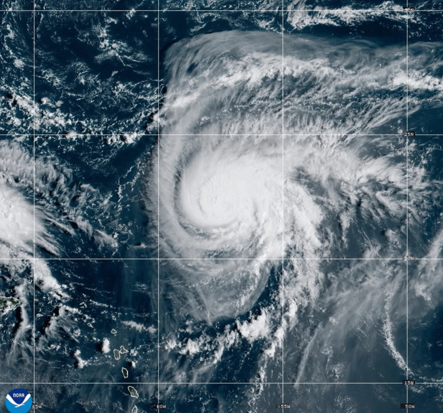
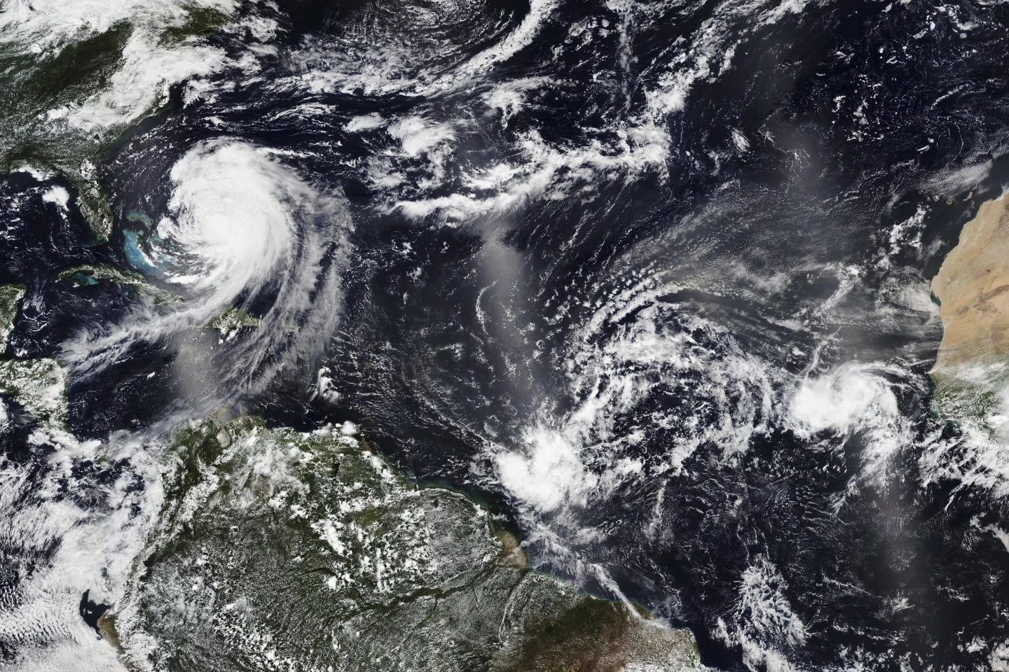
The last named storm, Tropical Storm Fernand, formed briefly on August 23, 2023, and dissipated by August 28, remaining over open waters.
This marked only the second time since 1950 that no named storms formed during the critical peak period from August 29 to September 15, according to Ernesto Rodríguez, meteorologist in charge of the National Weather Service forecast office in San Juan.
“Typically, conditions during this period are conducive for storm activity,” Rodríguez remarked, referencing the quietest peak ever recorded in 1992, following Hurricane Andrew's devastation in Florida.
Reasons for the Calm
The unusual quiet can be attributed to three main factors:
- Increased Wind Shear: A strong vertical wind shear, defined as the variation in wind speed and direction with altitude, has been observed due to a cyclonic circulation in the mid-upper troposphere.
- Dry and Stable Air: The presence of persistent dry air across the tropical Atlantic has hindered storm development.
- Decreased Rainfall: A drop in rainfall in West Africa, where many tropical storms originate, has contributed to the lack of tropical waves forming into storm systems.
“This is quite positive, especially for us in Puerto Rico,” Rodríguez noted, as the island continues to recover from Hurricane Maria, which struck in September 2017.
In light of these conditions, meteorologists from Colorado State have published reports discussing the rare quiet period, to the surprise of the public and meteorological communities alike.
Potential for Future Activity
Forecasters warn that while the current season has been quiet, significant activity could still emerge. Predictions suggest that mid to late September could see an uptick in storm formation as conditions evolve.
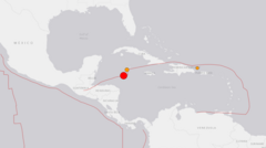
A cluster of storms east of the Caribbean is currently being monitored for potential development into a named storm, although it may veer away from land.
Historically, August and September account for up to 80% of hurricane activity in the Atlantic. However, this season has seen only six named storms so far, causing concern among climatologists.
National Oceanic and Atmospheric Administration (NOAA) had initially predicted a busier hurricane season, with estimates of 13 to 18 named storms, including up to five major hurricanes, defined by wind speeds of 111 mph or higher.
Erin, which formed as this year's first hurricane in August, reached Category 5 status but did not make landfall, and no hurricanes have formed since then.
As the typical hurricane season spans from June 1 to November 30, experts warn that the peak of storm activity could still be yet to arrive, putting coastal communities on alert as the season progresses.