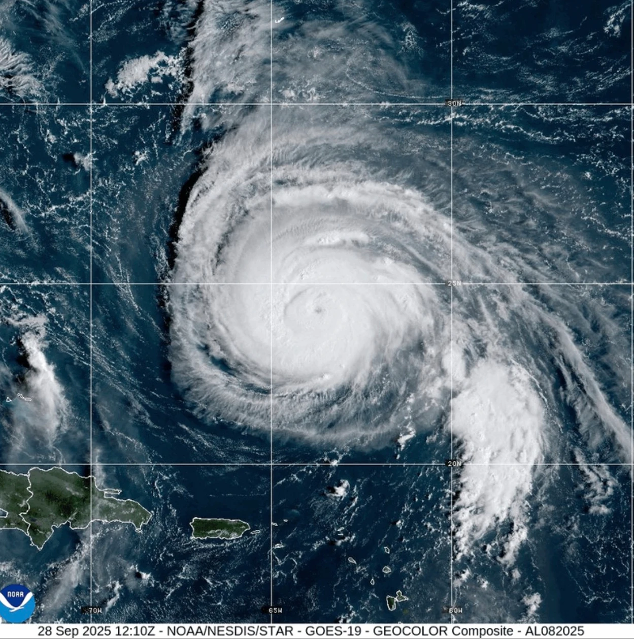
Hurricane Erin has exhibited significant volatility over recent days, intensifying to a Category 5 storm before slightly weakening and regaining strength. The hurricane's impact is currently felt in the southeastern Bahamas and Turks and Caicos Islands, where up to six inches of rain are anticipated. The National Hurricane Center maintains that Erin will retain its status as a formidable storm throughout the week.
In Puerto Rico, high winds caused substantial power outages, leaving over 150,000 residents without electricity. Local energy company Luma reported that emergency repairs allowed 95% of customers to regain power by Sunday evening. Authorities in the Bahamas are remaining vigilant, with the Disaster Risk Management Authority advising residents to familiarize themselves with shelter options. Managing Director Aarone Sargent emphasized that hurricanes can shift unpredictably and urged preparedness.
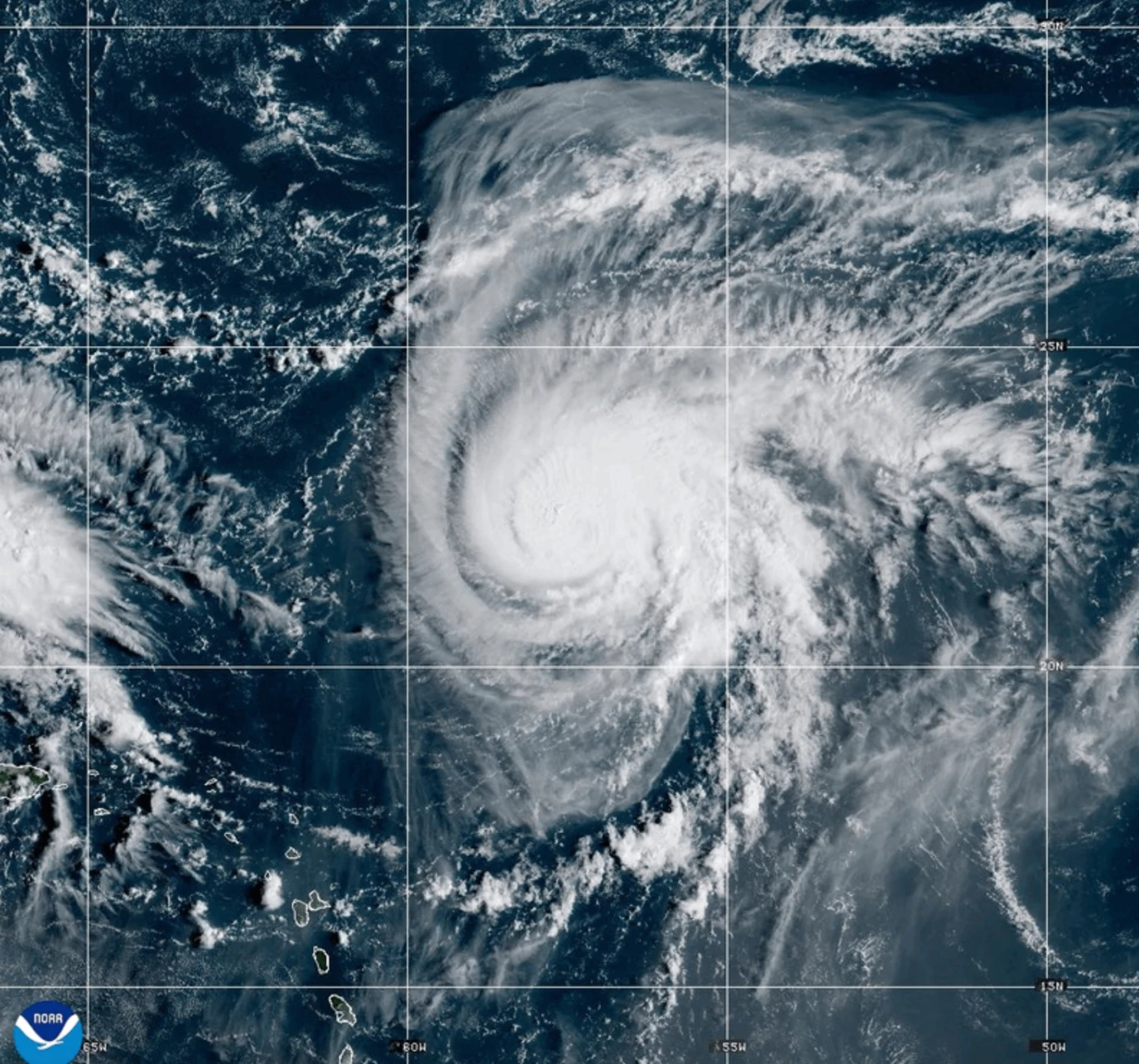
As Hurricane Erin’s outer rain bands begin to influence the region, predictions indicate its core will steer between Bermuda and the US East Coast by mid-week. The Outer Banks of North Carolina are already bracing for imminent heavy surf and strong winds, leading to mandatory evacuations being ordered for Hatteras Island. Furthermore, forecasters have issued warnings regarding dangerous rip tides potentially affecting the entire East Coast of the United States, underscoring the storm's expansive reach.
This developing situation raises discussions on the implications of climate change on hurricane intensity, as meteorologists continue to monitor Erin's trajectory and impact.
In Puerto Rico, high winds caused substantial power outages, leaving over 150,000 residents without electricity. Local energy company Luma reported that emergency repairs allowed 95% of customers to regain power by Sunday evening. Authorities in the Bahamas are remaining vigilant, with the Disaster Risk Management Authority advising residents to familiarize themselves with shelter options. Managing Director Aarone Sargent emphasized that hurricanes can shift unpredictably and urged preparedness.
As Hurricane Erin’s outer rain bands begin to influence the region, predictions indicate its core will steer between Bermuda and the US East Coast by mid-week. The Outer Banks of North Carolina are already bracing for imminent heavy surf and strong winds, leading to mandatory evacuations being ordered for Hatteras Island. Furthermore, forecasters have issued warnings regarding dangerous rip tides potentially affecting the entire East Coast of the United States, underscoring the storm's expansive reach.
This developing situation raises discussions on the implications of climate change on hurricane intensity, as meteorologists continue to monitor Erin's trajectory and impact.