Humanitarian organisations and journalists have expressed concerns after a leading satellite imagery company told its users it was restricting access to images of Iran and large parts of the Middle East following a request from the US government.
California-based Planet Labs initially introduced a 14-day delay on providing new imagery from the region in March. It has since moved to an 'indefinite' restriction.
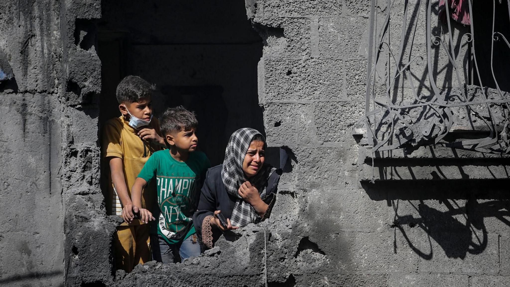
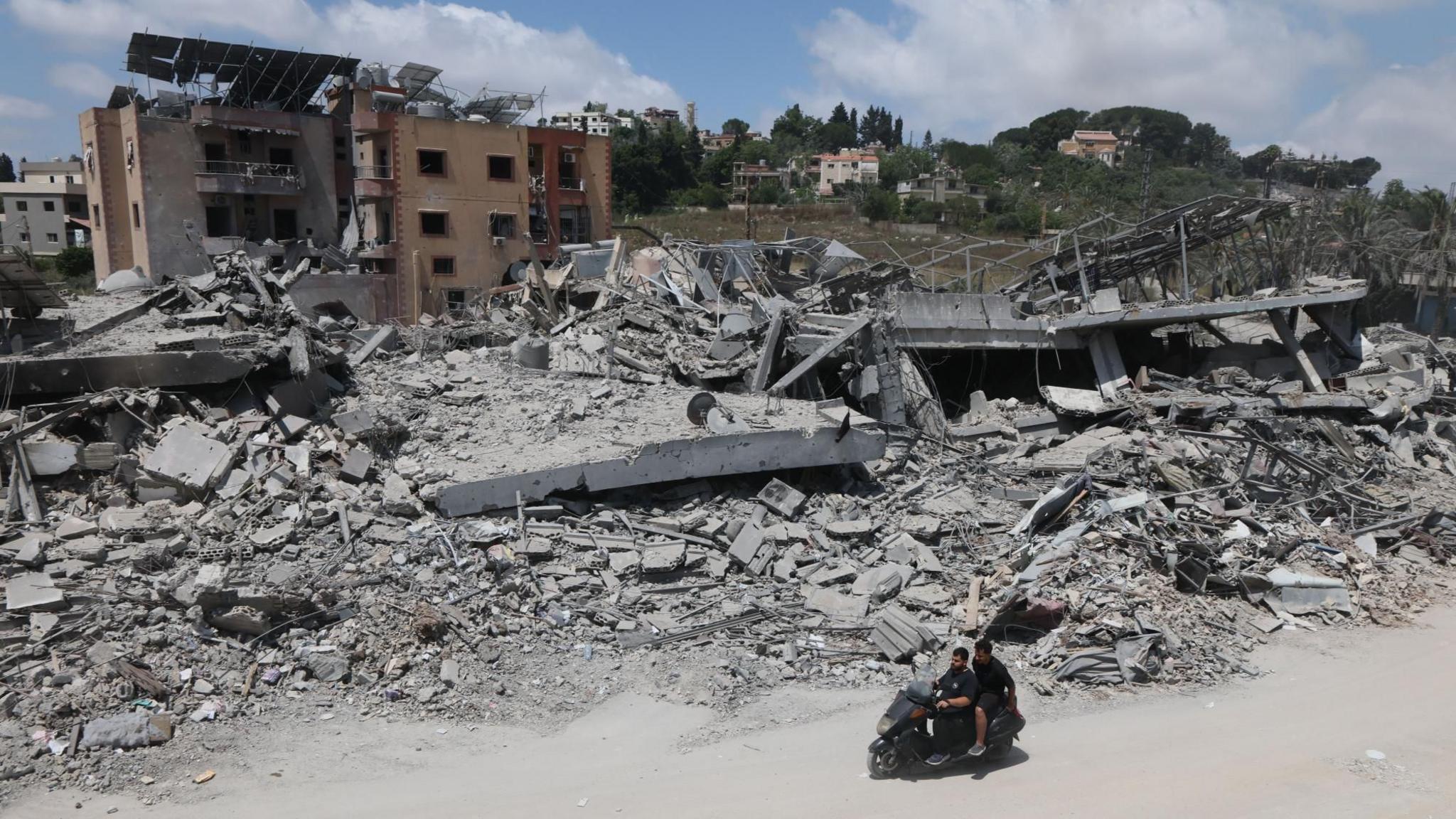
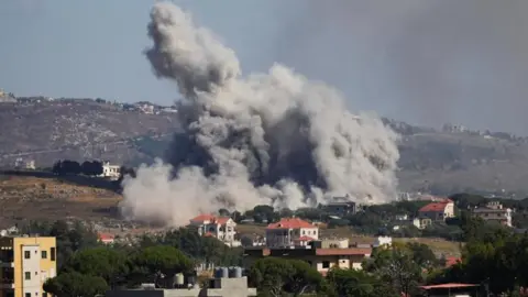
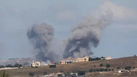
The decision has limited how journalists, humanitarian groups and analysts can use satellite images to assess the impact of the US-Israel war with Iran, including damage to military targets and civilian infrastructure.
It is unclear what prompted the US to press Planet to suspend its coverage and the Department of Defense did not respond to a request for comment.
Planet initially said its original 14-day delay policy was 'to ensure our imagery is not tactically leveraged by adversarial actors to target allied and Nato-partner personnel and civilians'.
It said in a statement to BBC Verify that it was now switching to a system of 'managed distribution' and would share selected images 'on a one-off basis until the security risk has abated'.
It declined to say how extensive the restrictions were. However, it appears to extend across most of the Middle East, including Iraq, Lebanon, Israel and Gaza.
One satellite imaging expert noted that companies like Planet, which have military contracts, sometimes implement 'voluntary compliance' requests driven by commercial incentive structures.
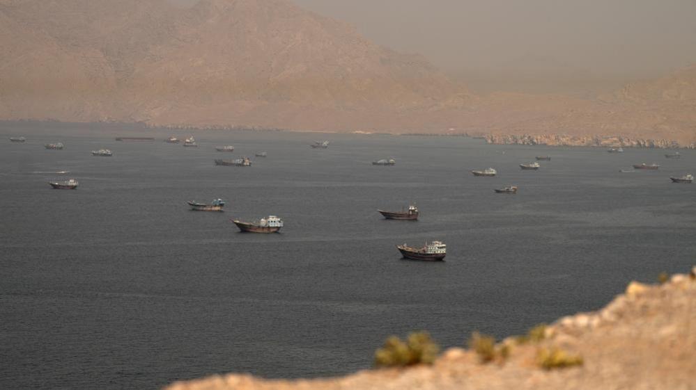
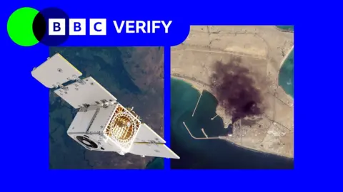
BBC Verify has used Planet imagery across the Middle East in its reporting, including documentation of a US strike on a school in the Iranian town of Minab.
The changes mean that images taken after March 9 are no longer routinely available to the company's clients.
Satellite imagery has become a key tool for reporters in conflict zones, disasters, and restricted environments. Planet's business model includes significant contracts with the US defense sector, raising concerns about the company's autonomy when government influence is involved.
As restrictions on satellite images remain in place, organizations like Oxfam, which rely on aerial imagery for logistics in conflict areas, are affected. Without adequate access to satellite data, they struggle to assess damage and coordinate aid delivery.
The landscape of satellite imagery—and the limitations imposed by both governments and commercial interests—highlights the delicate balance between national security and the public's right to information during humanitarian crises.